COMPETITION AREA
What will you face?
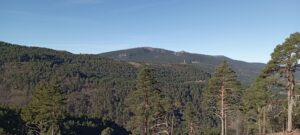
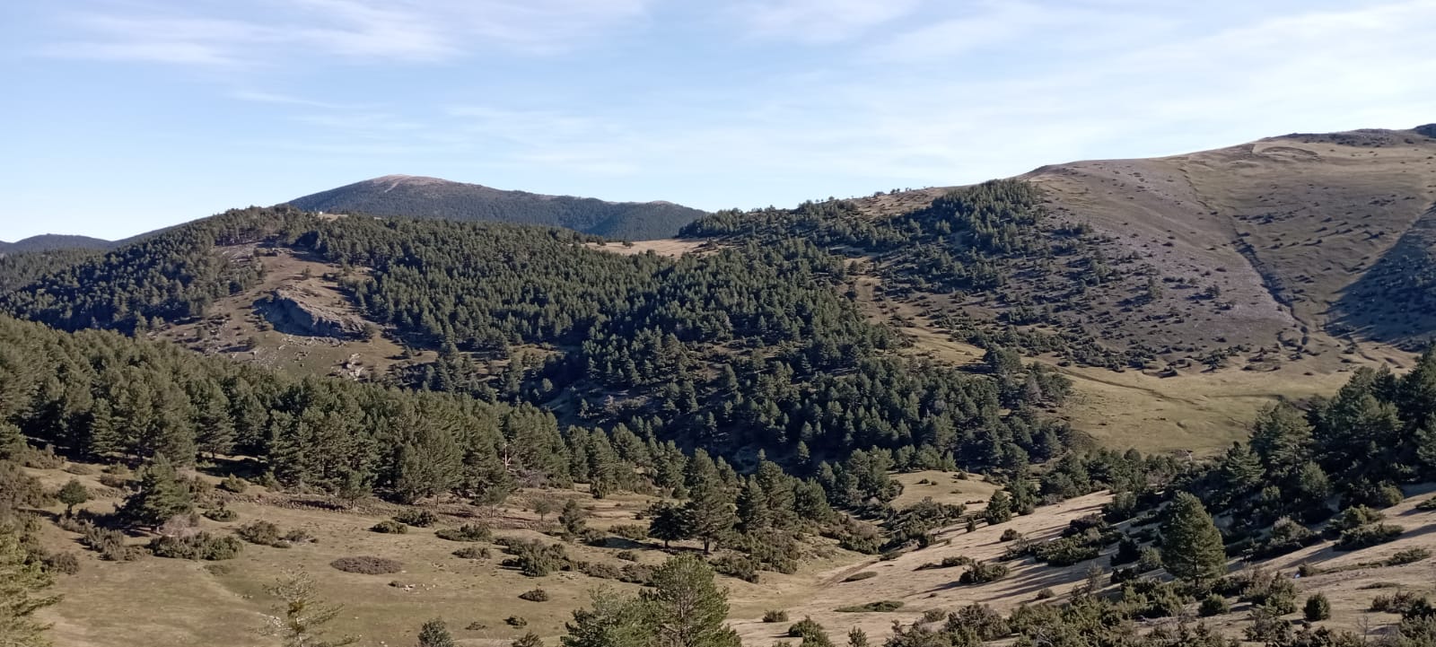
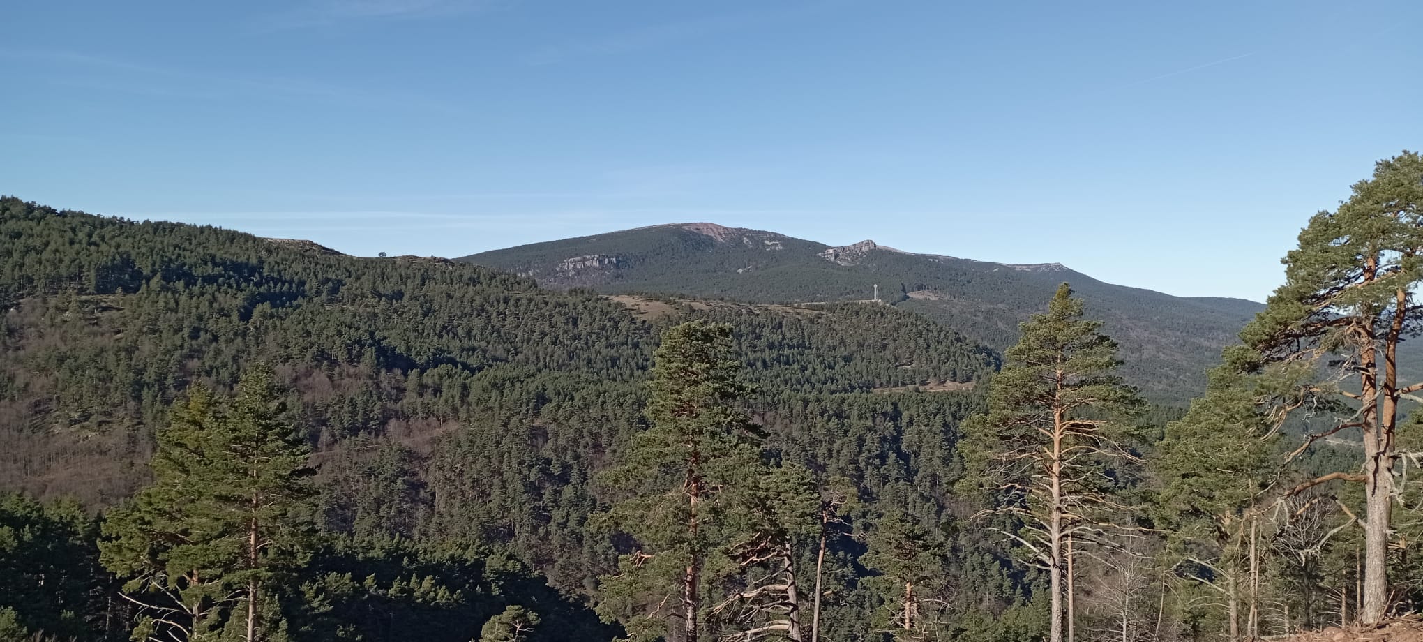
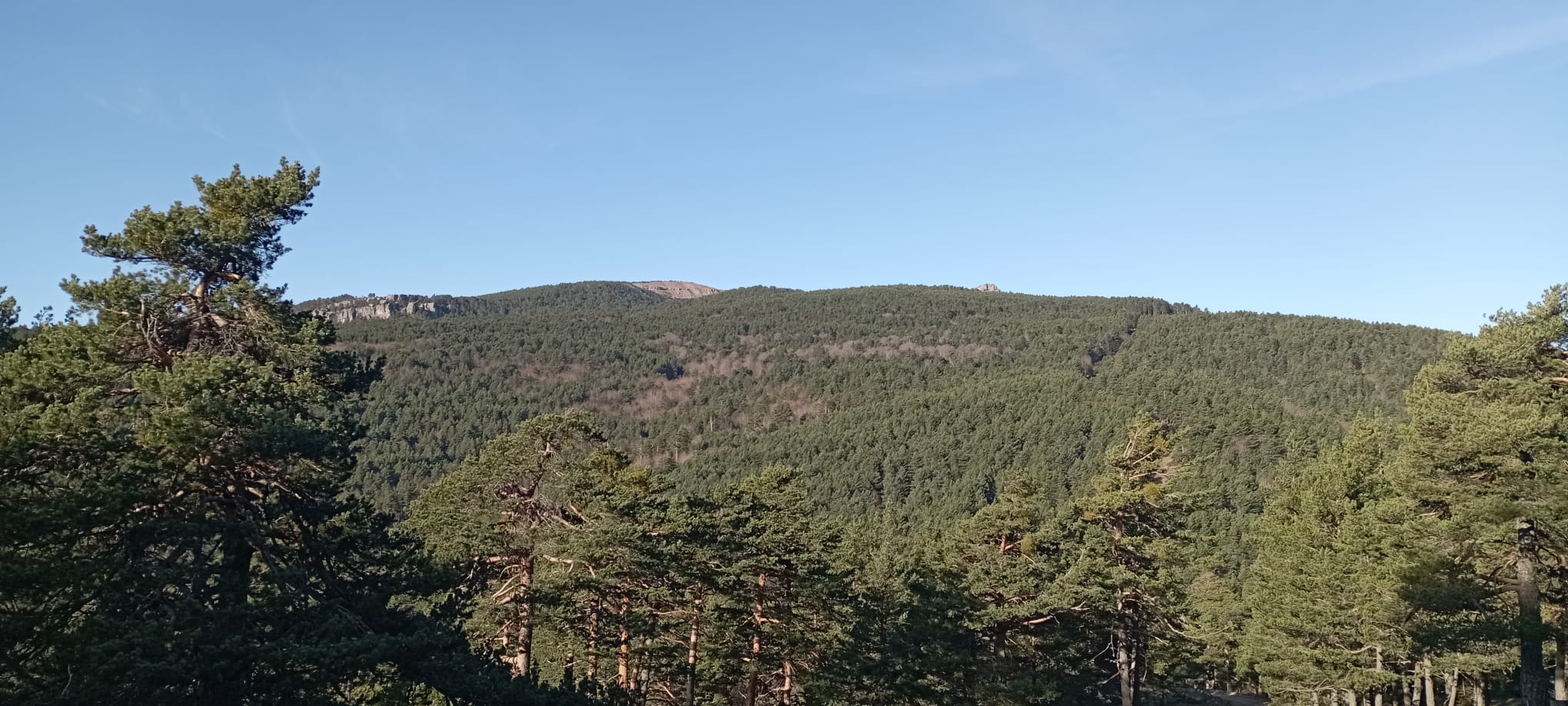
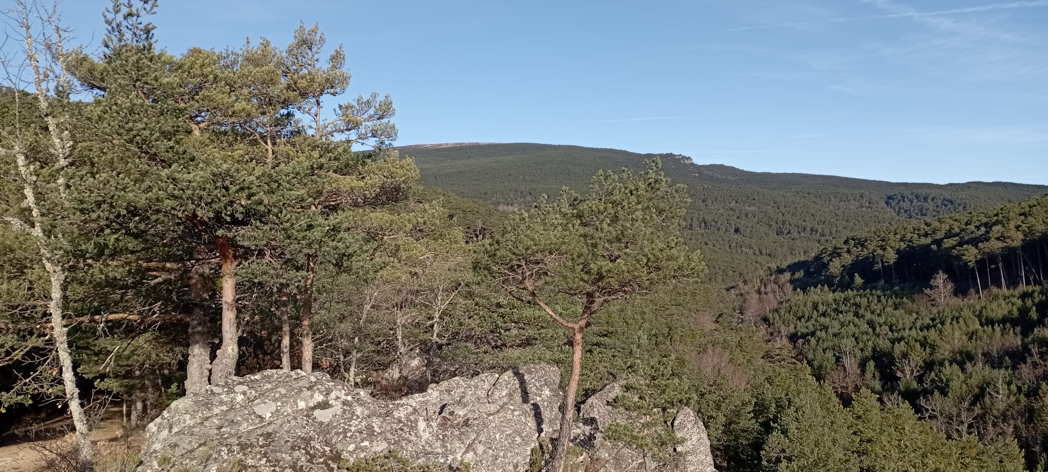
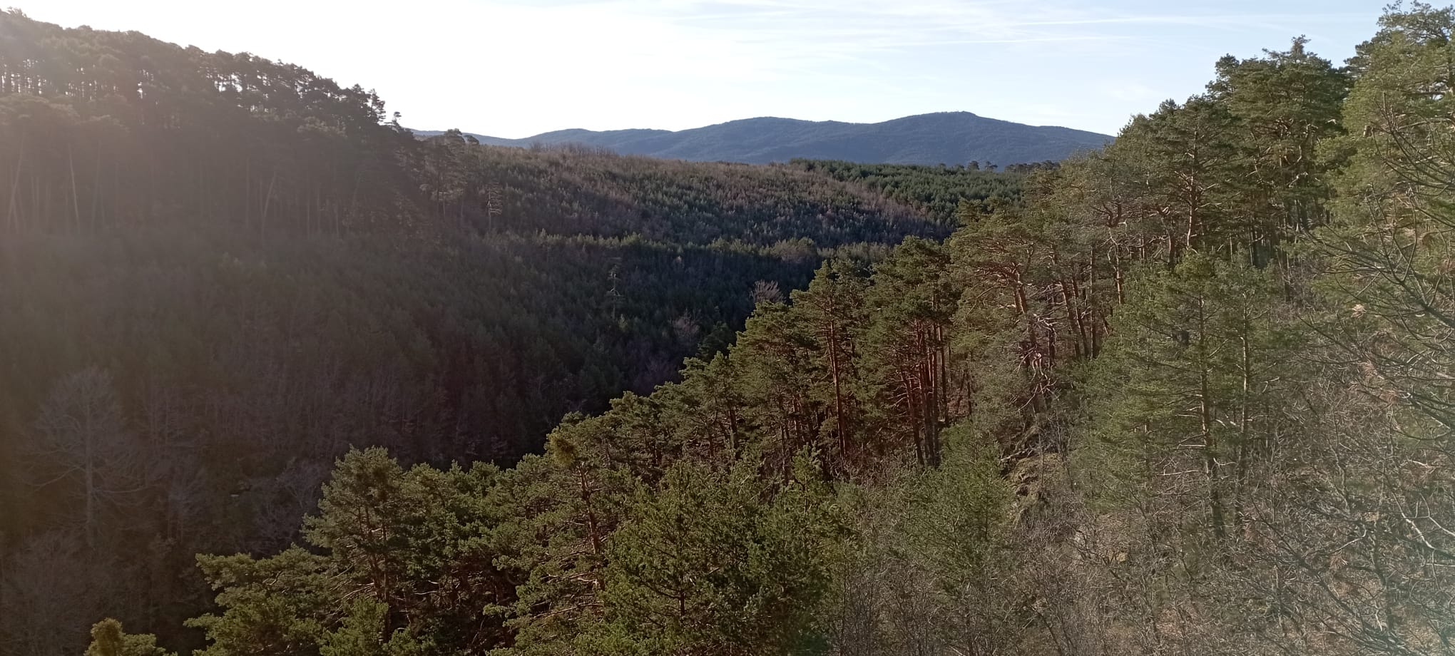
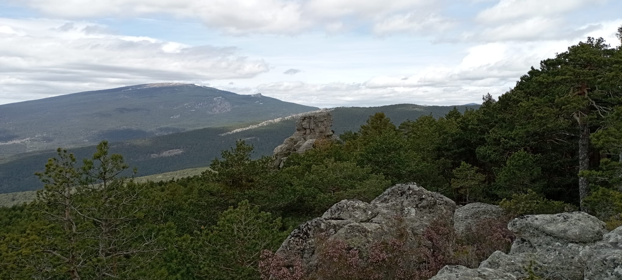
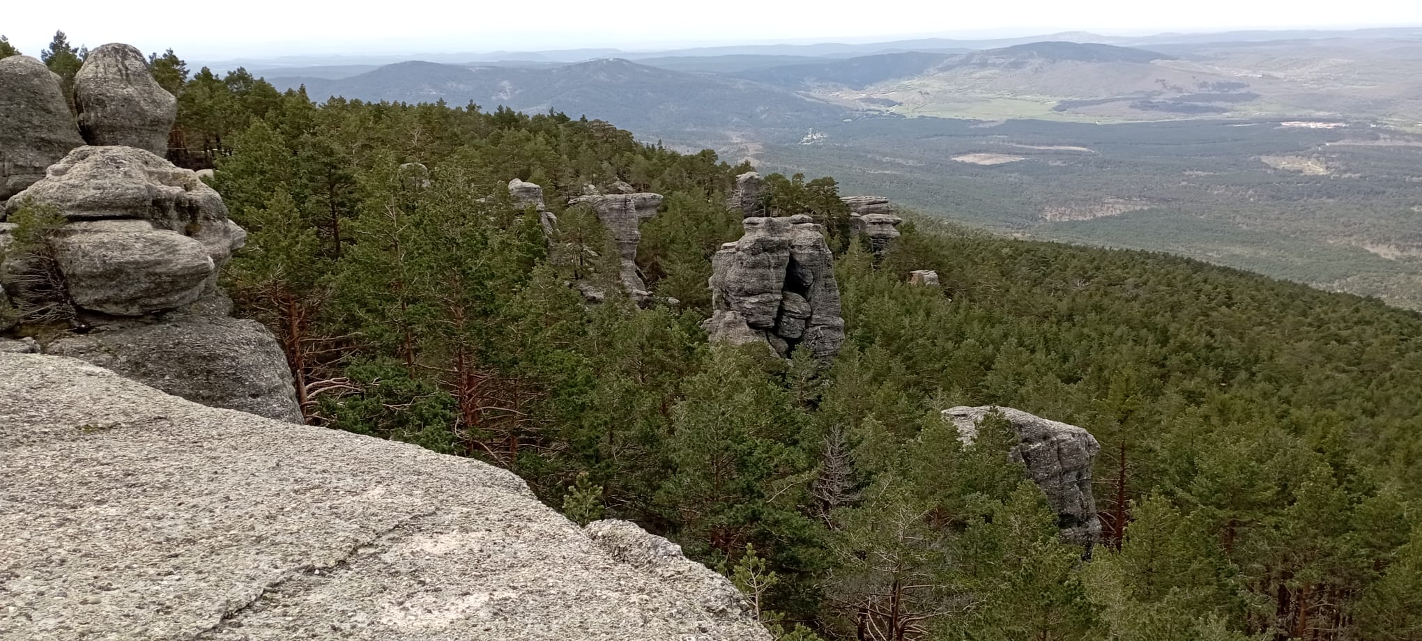
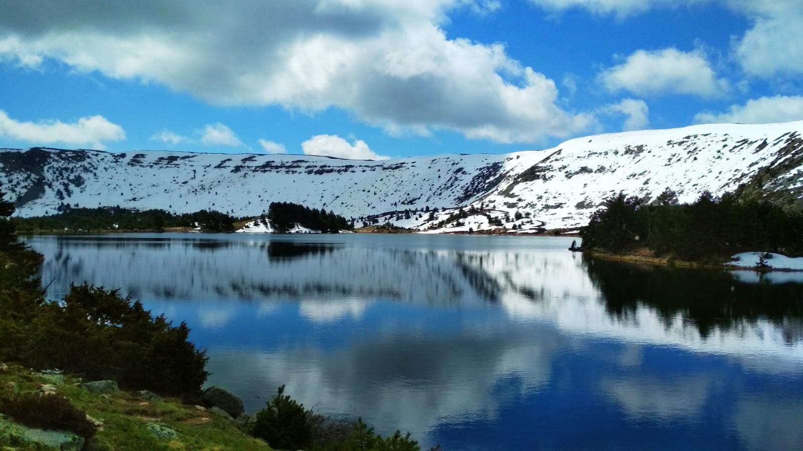
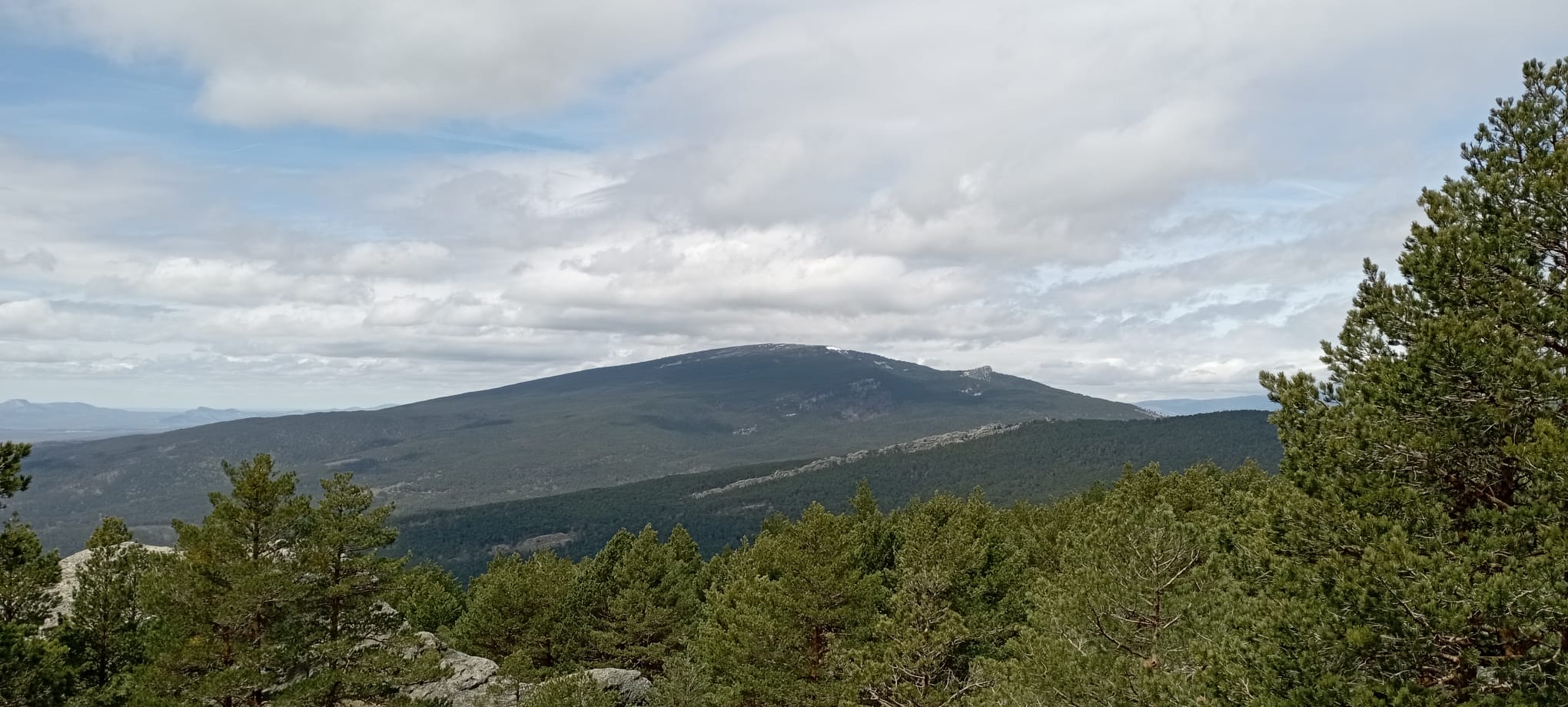
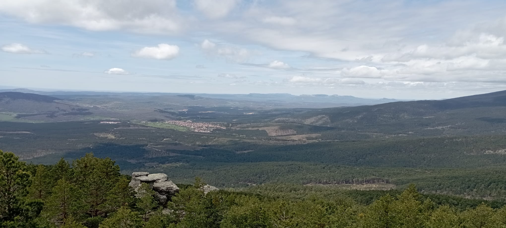
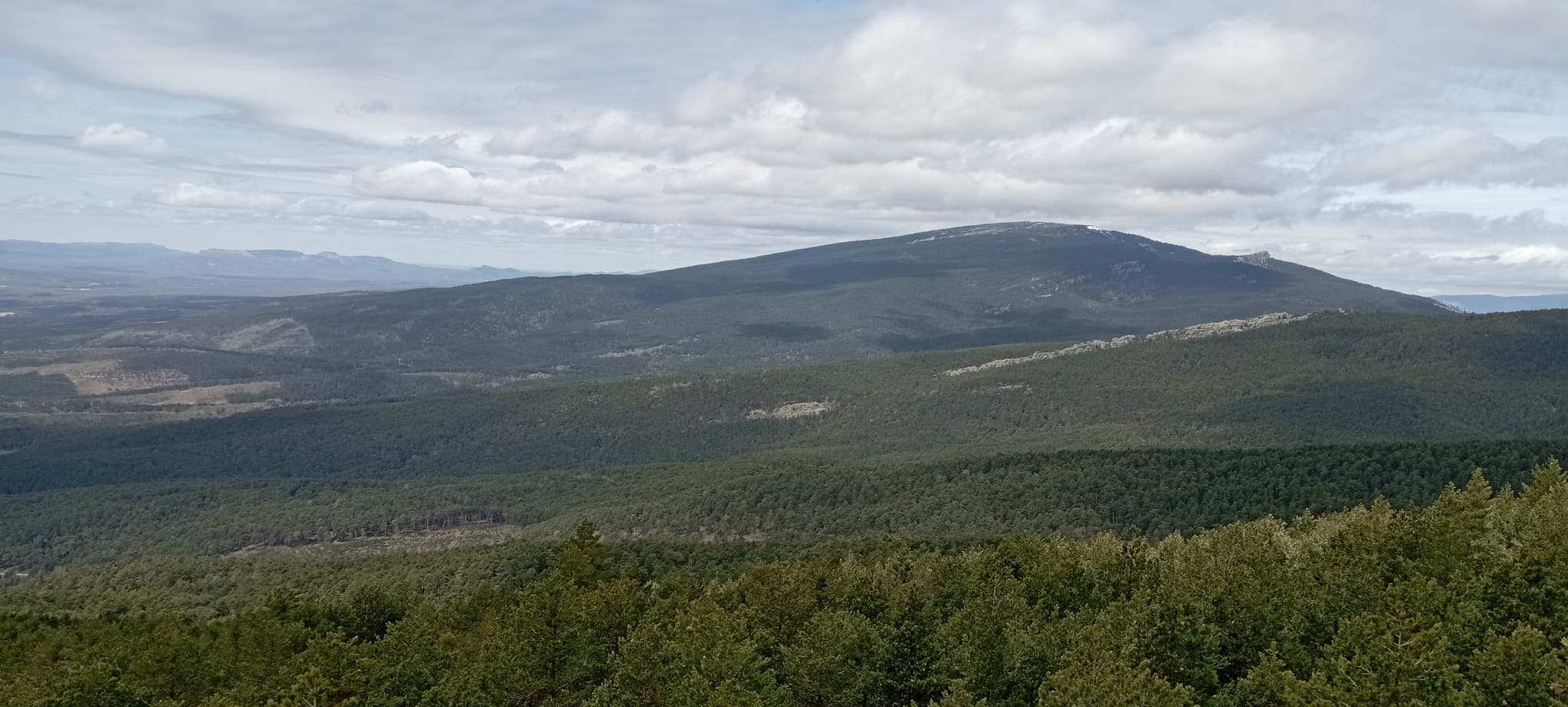
The competition area will comprise about 200km2 and is located in the Iberian System in the inner north of Spain. Specifically it covers part of the summit of the Sierra de Neila and its slopes, both north and south and part of the Sierra de Urbión also with its southern and northern slopes. Its highest peaks are Campiña (2049m), Muñalba (2073m) and Tres Provincias (2056m). Its lowest points are located in the towns of Quintanar de la Sierra (1113m) and Neila (1175m).
The area has a predominantly continental mountain climate. We have to take into account that two quite large parts of the terrain will be located above 2,000 meters of altitude and it is at this time of the year when the conditions are the most optimal to be traversed for 24 hours. On the other hand, at this time of the year, there are no environmental factors that require special care for the fauna or flora in the area.
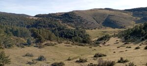
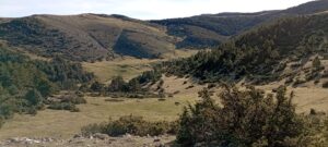
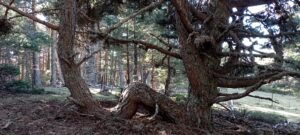
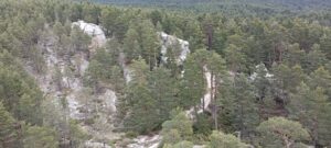
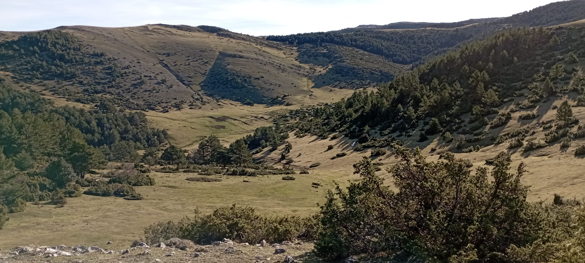
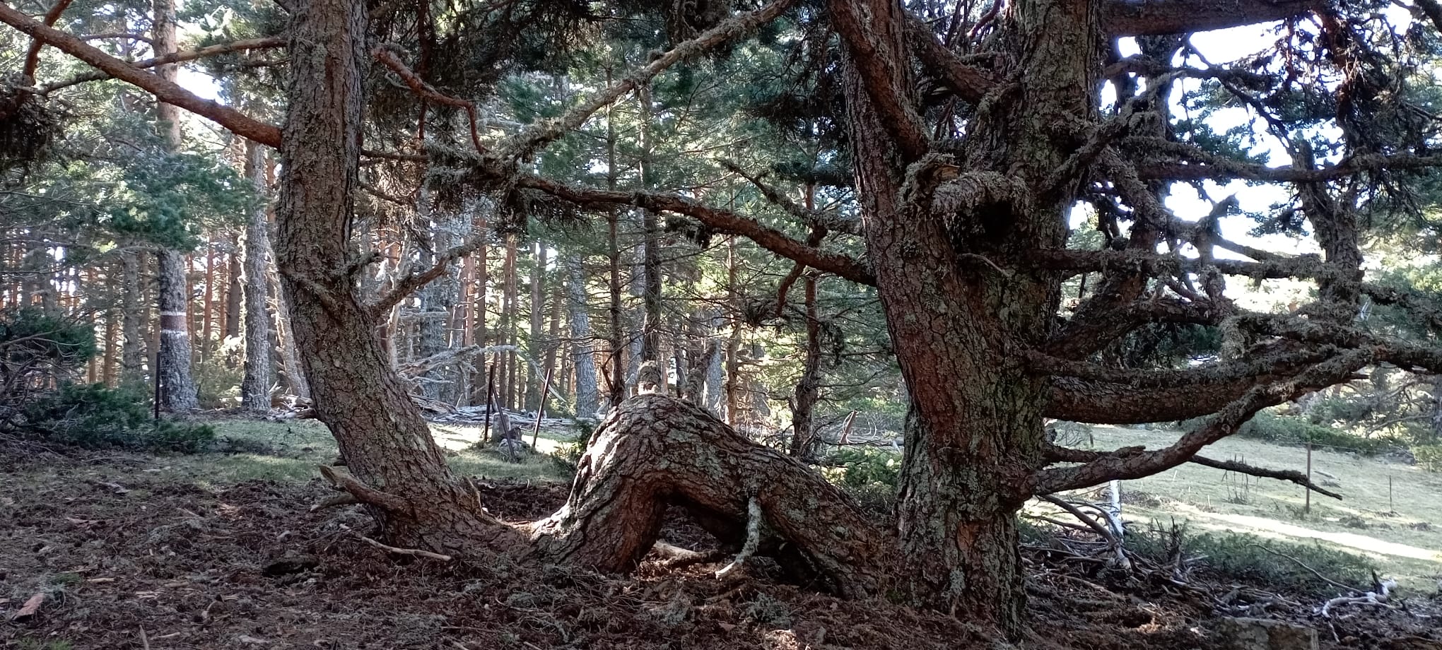
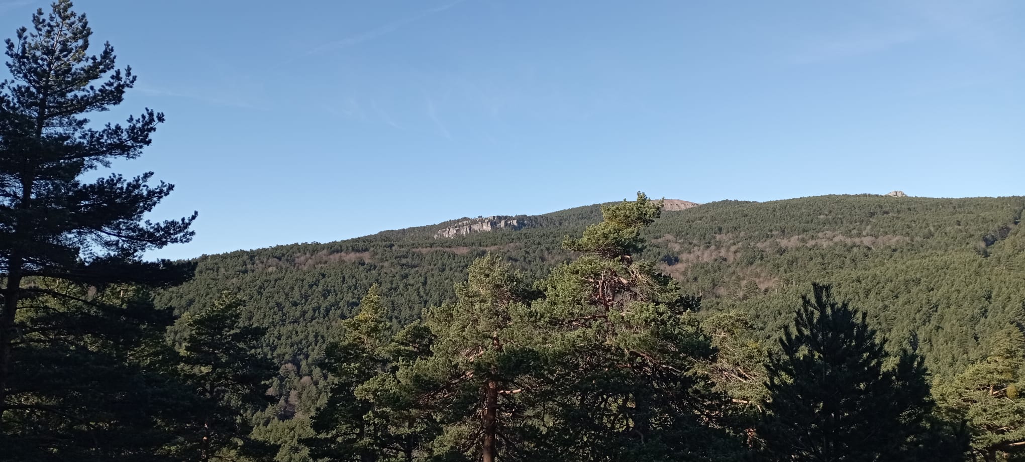
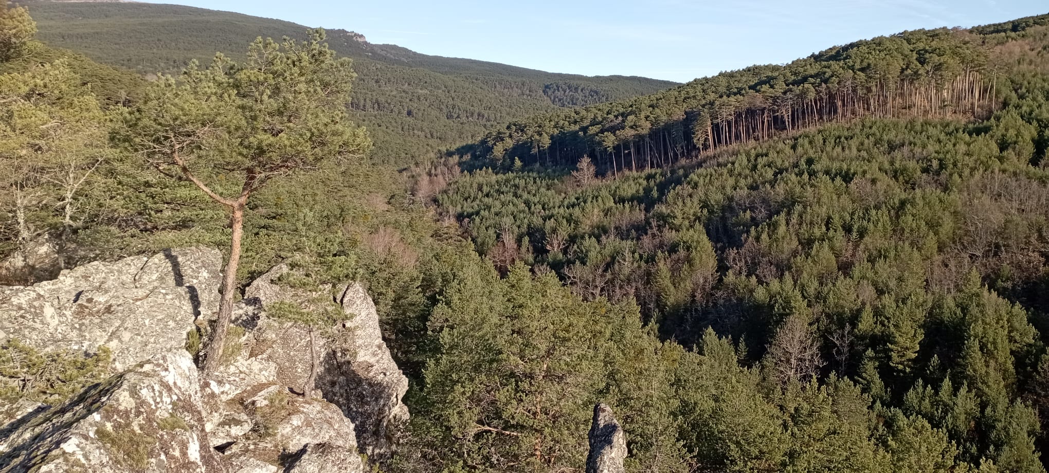
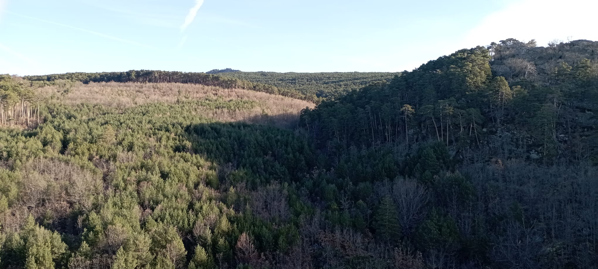
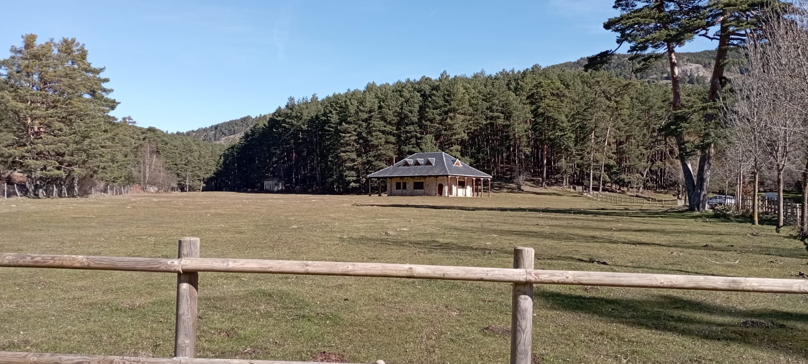
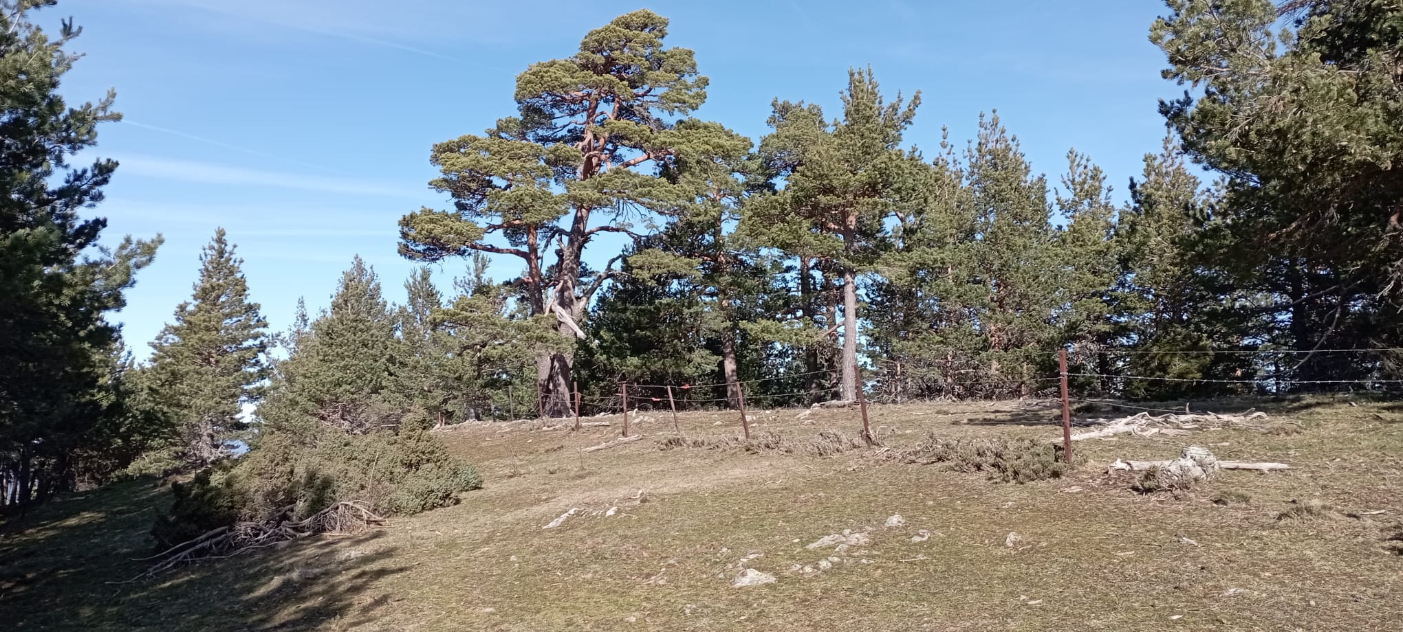
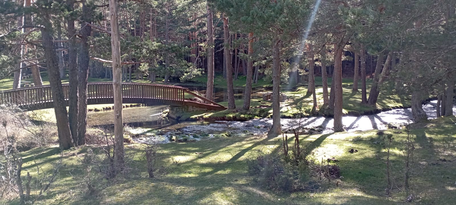
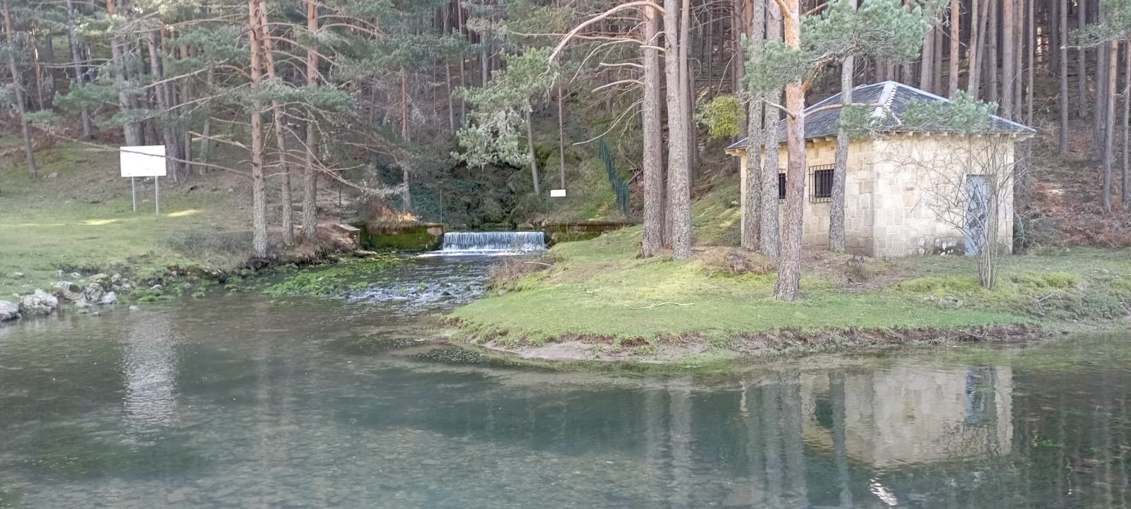
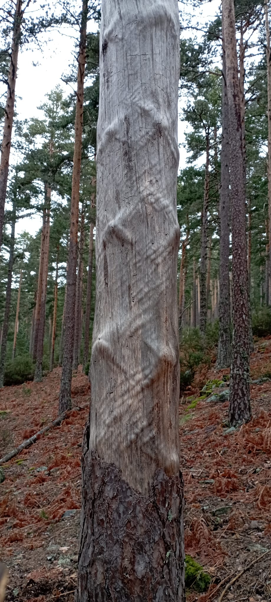
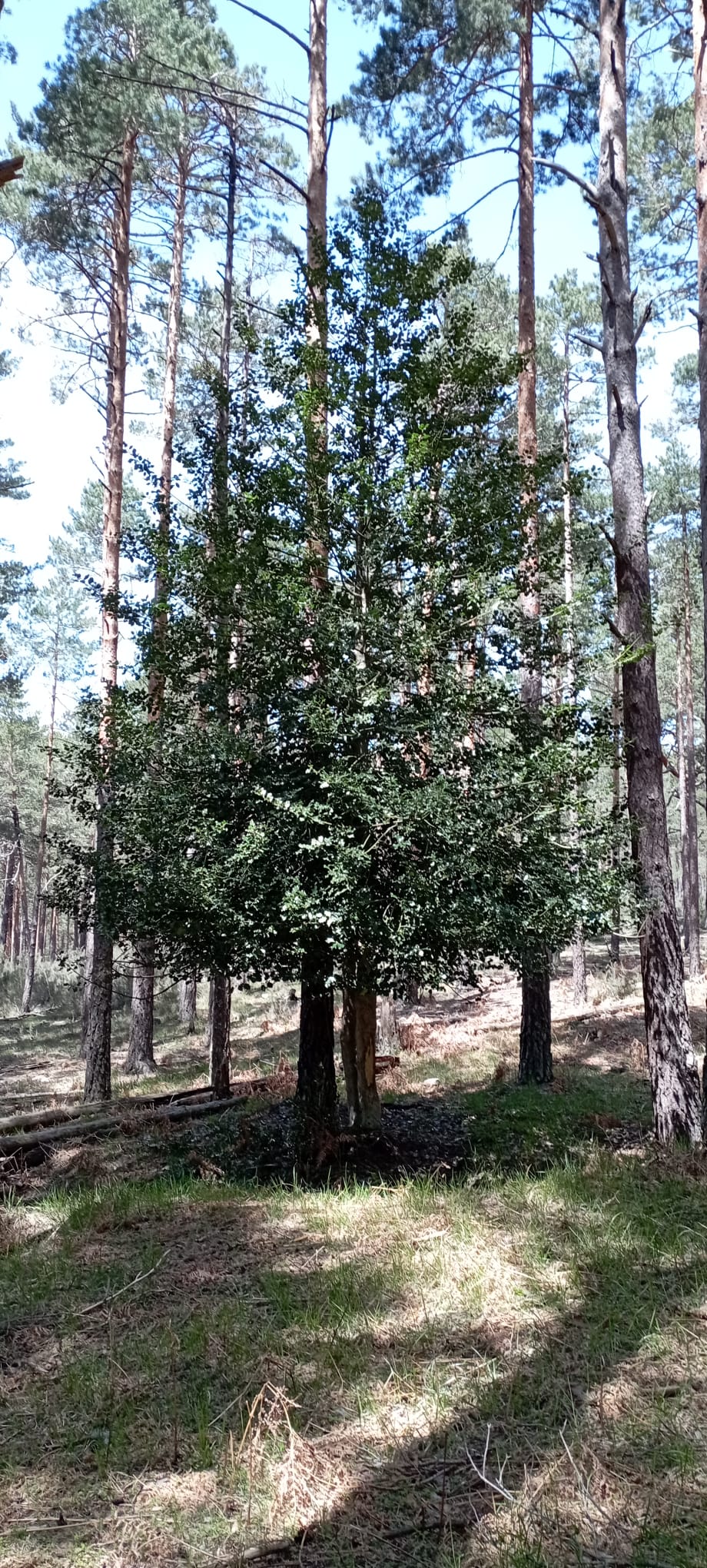
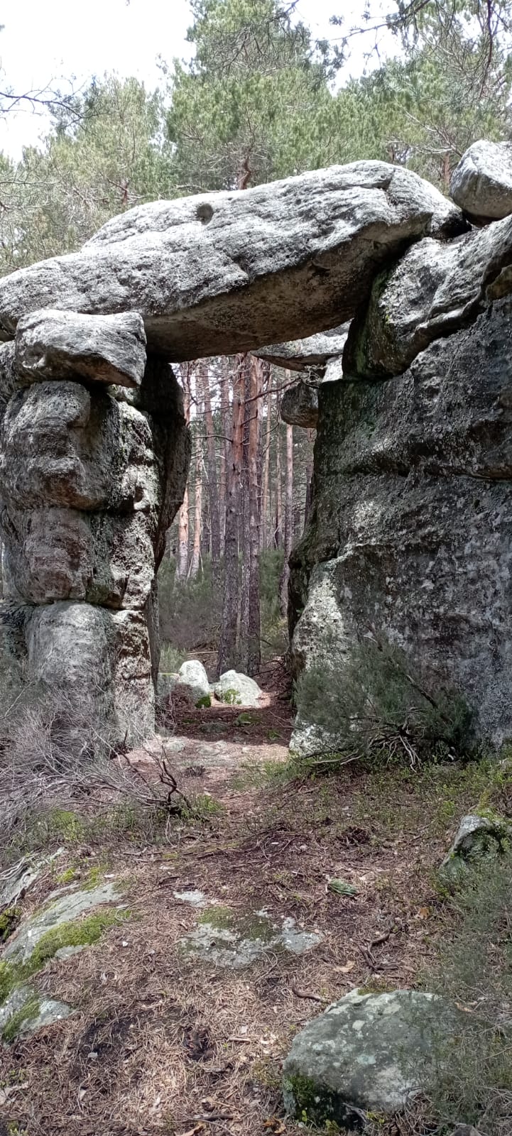
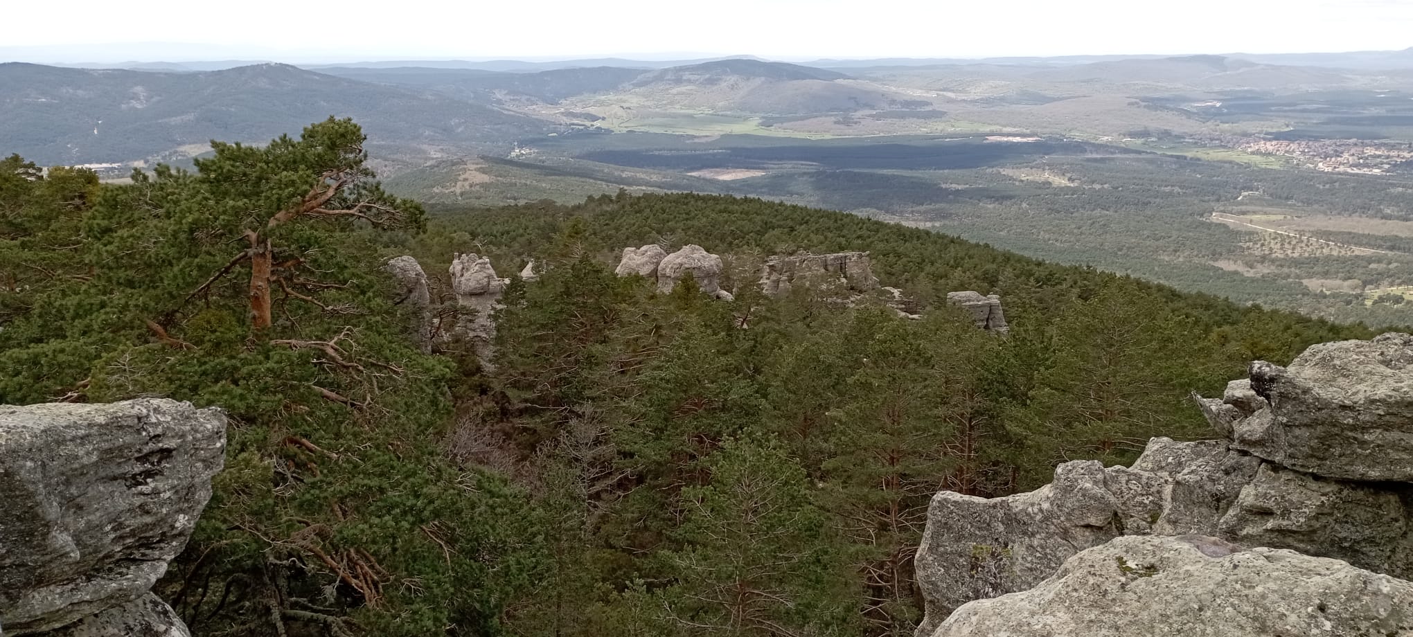
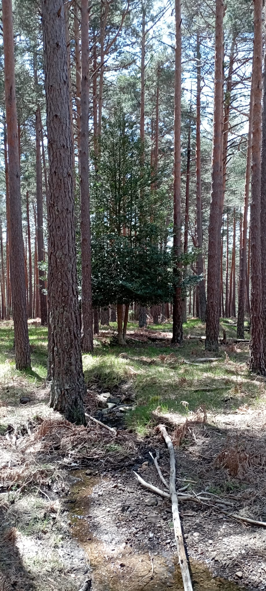
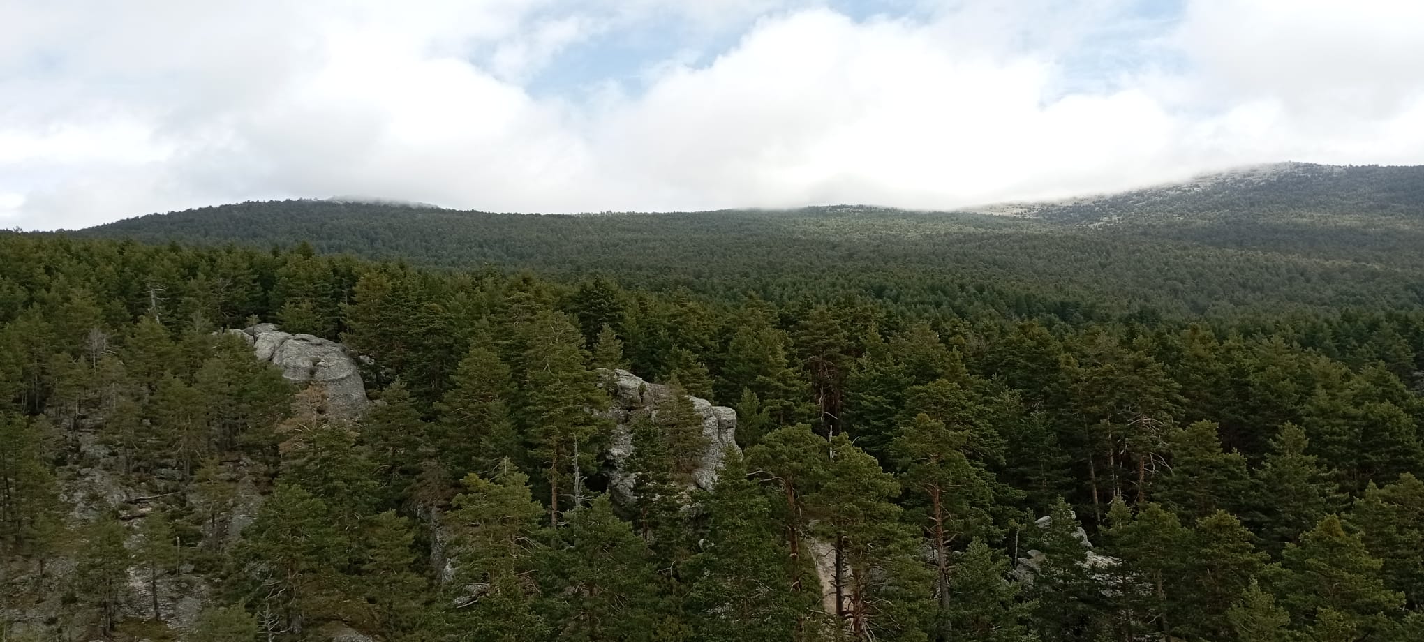
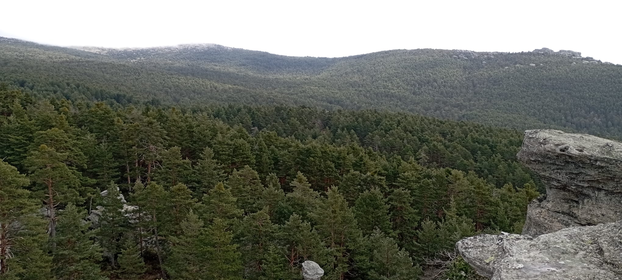
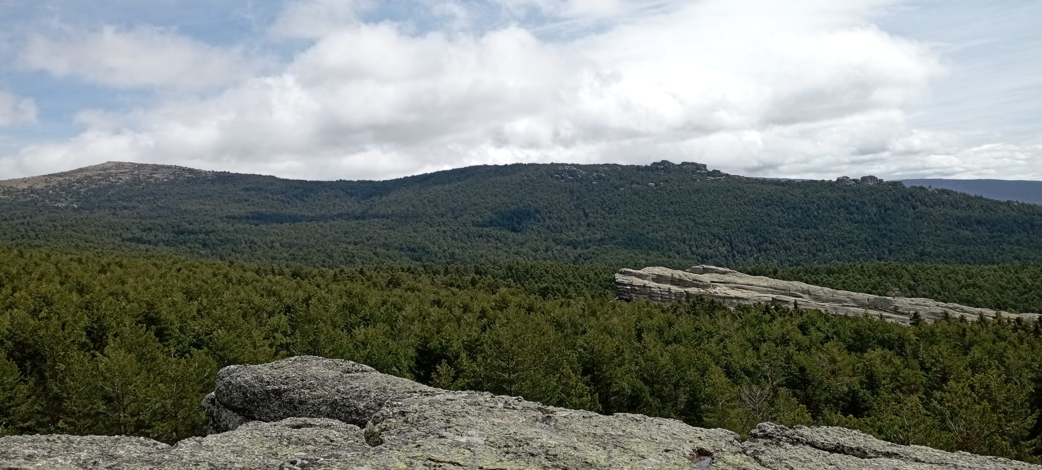
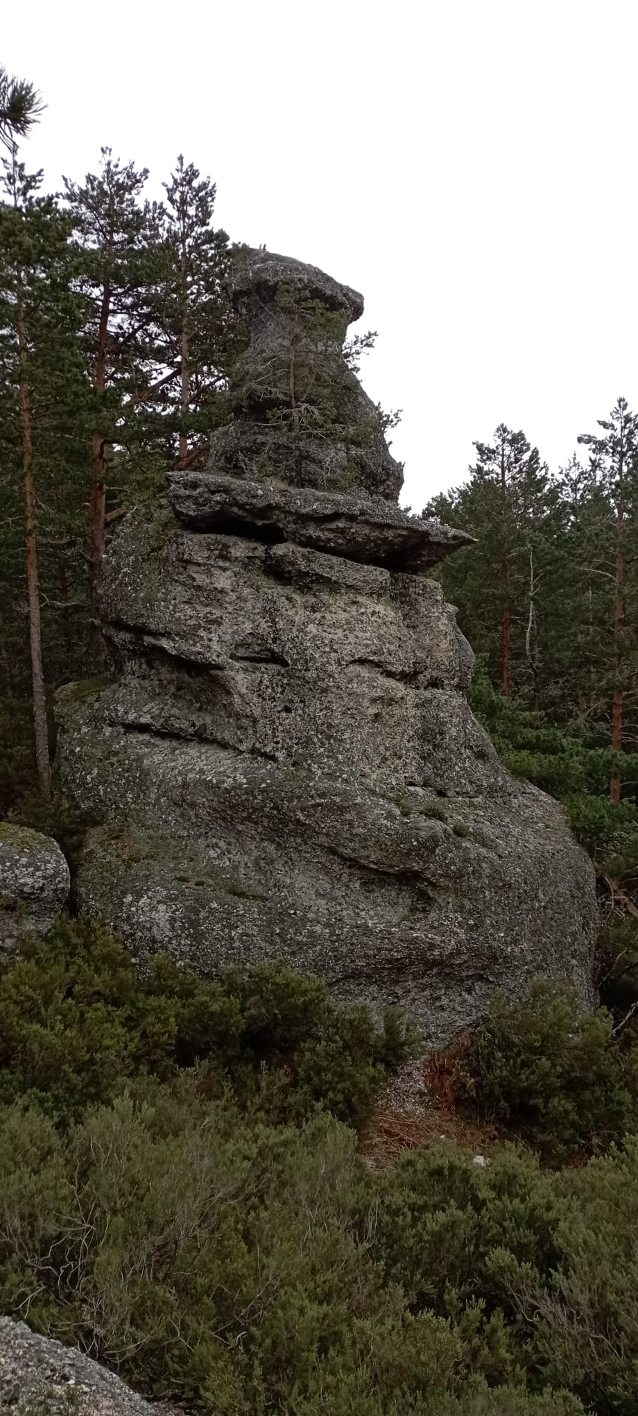
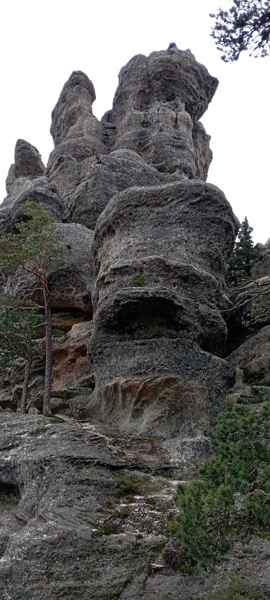
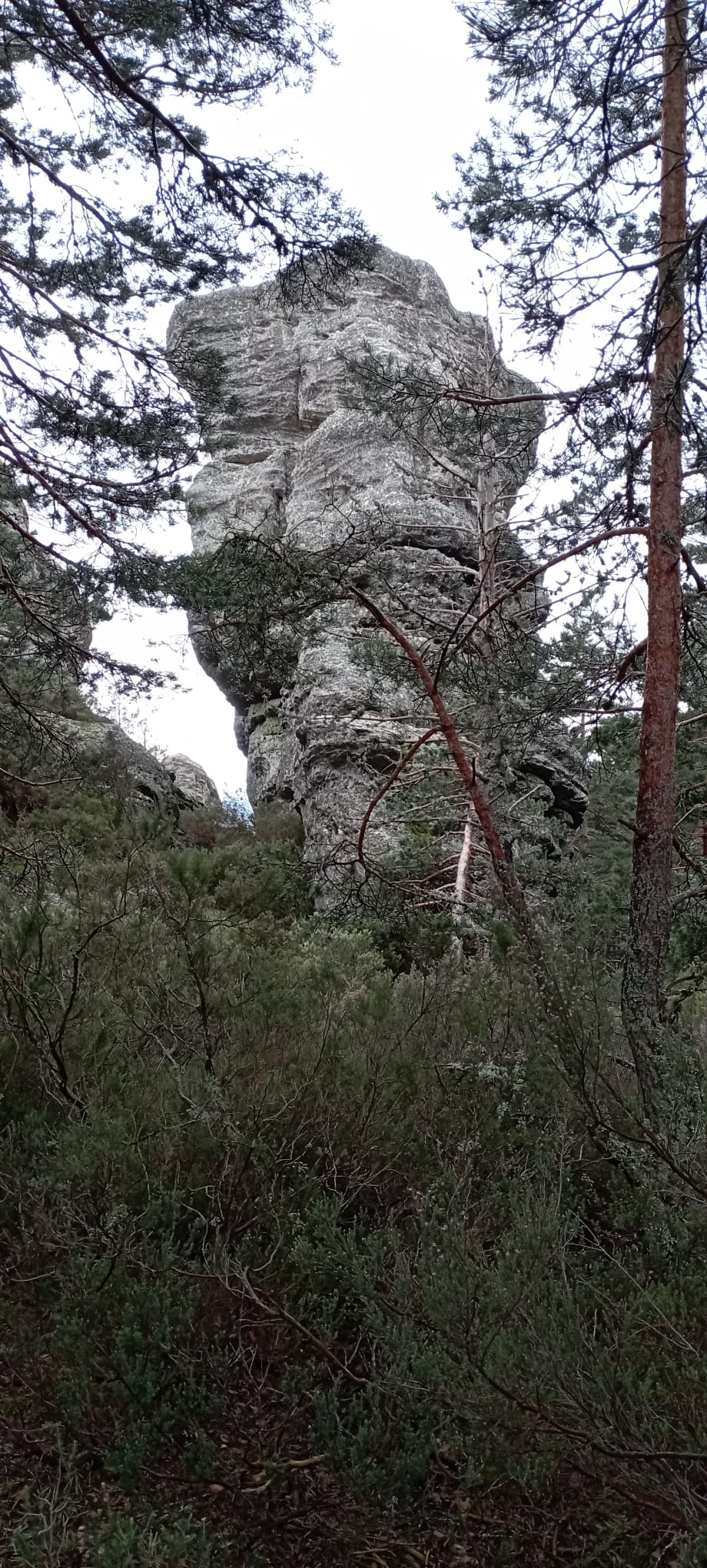
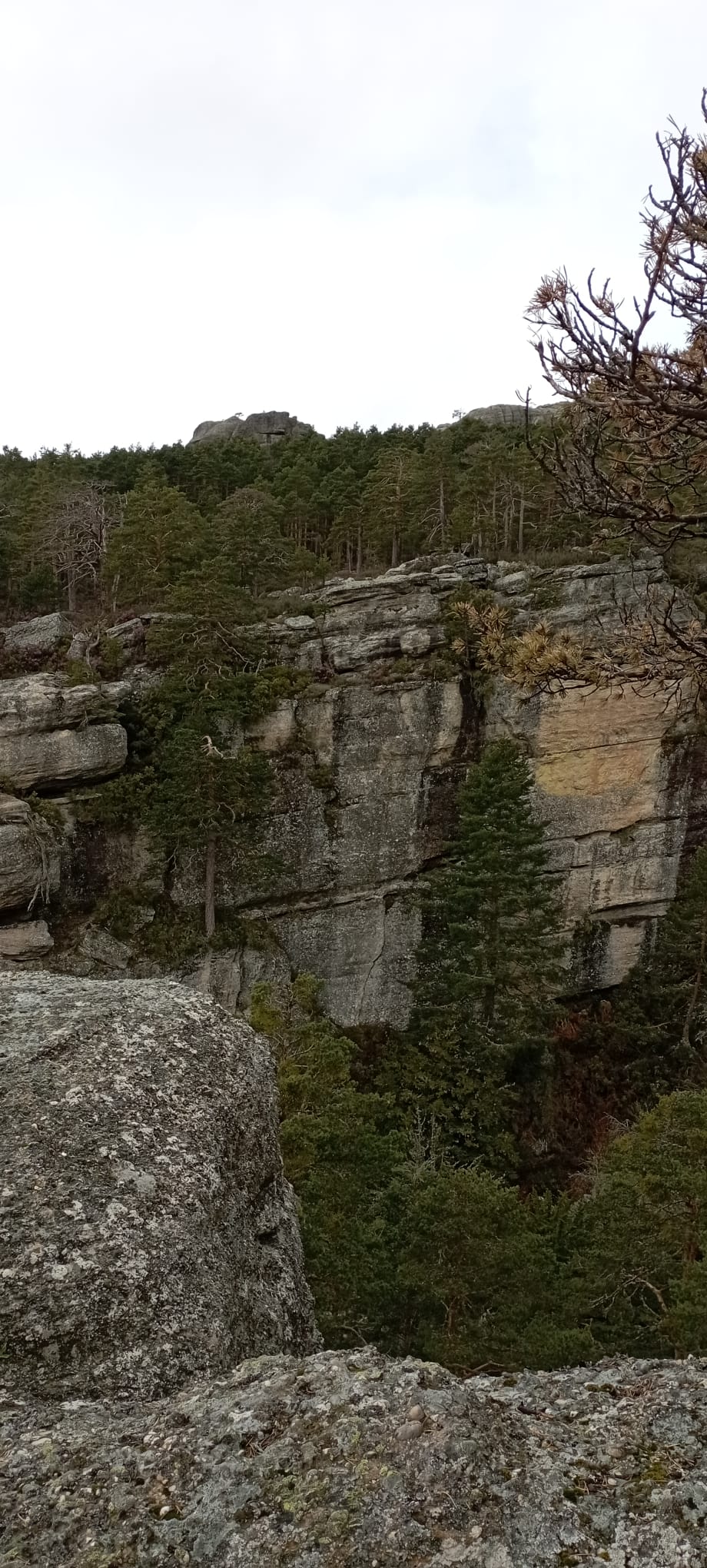
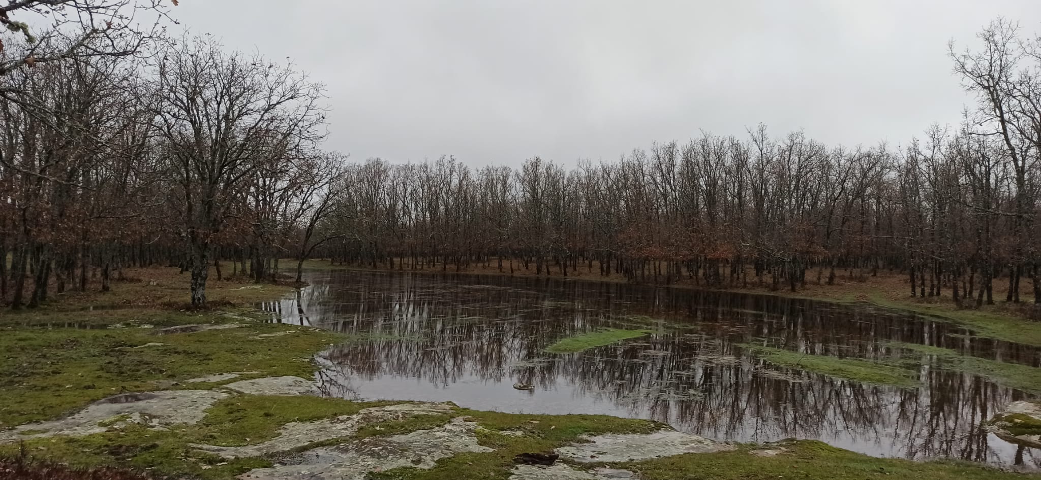
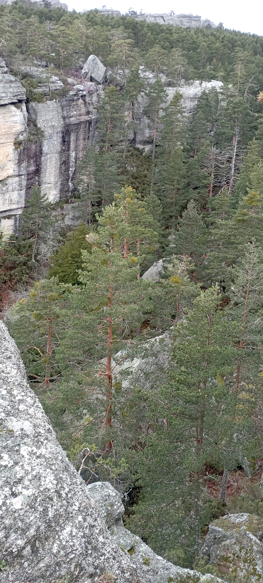
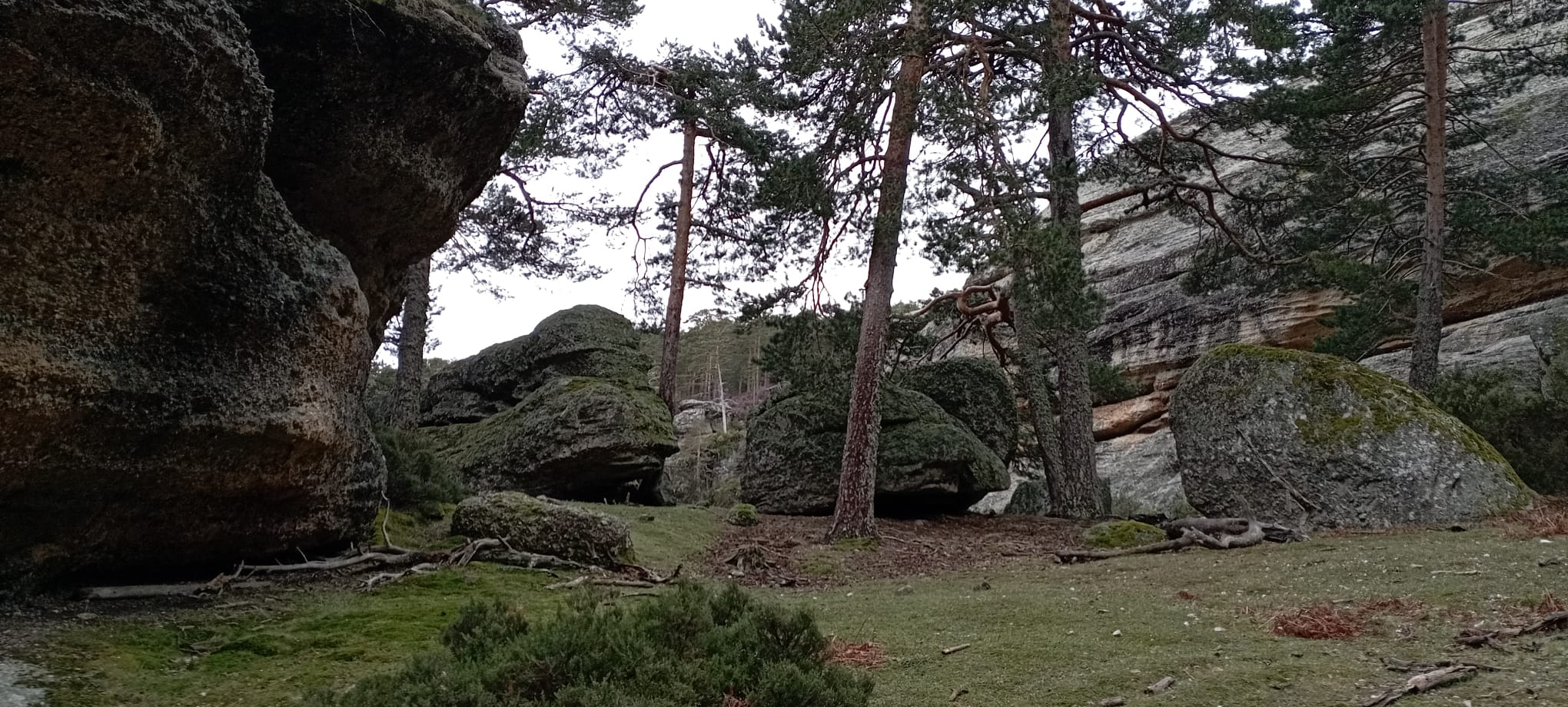
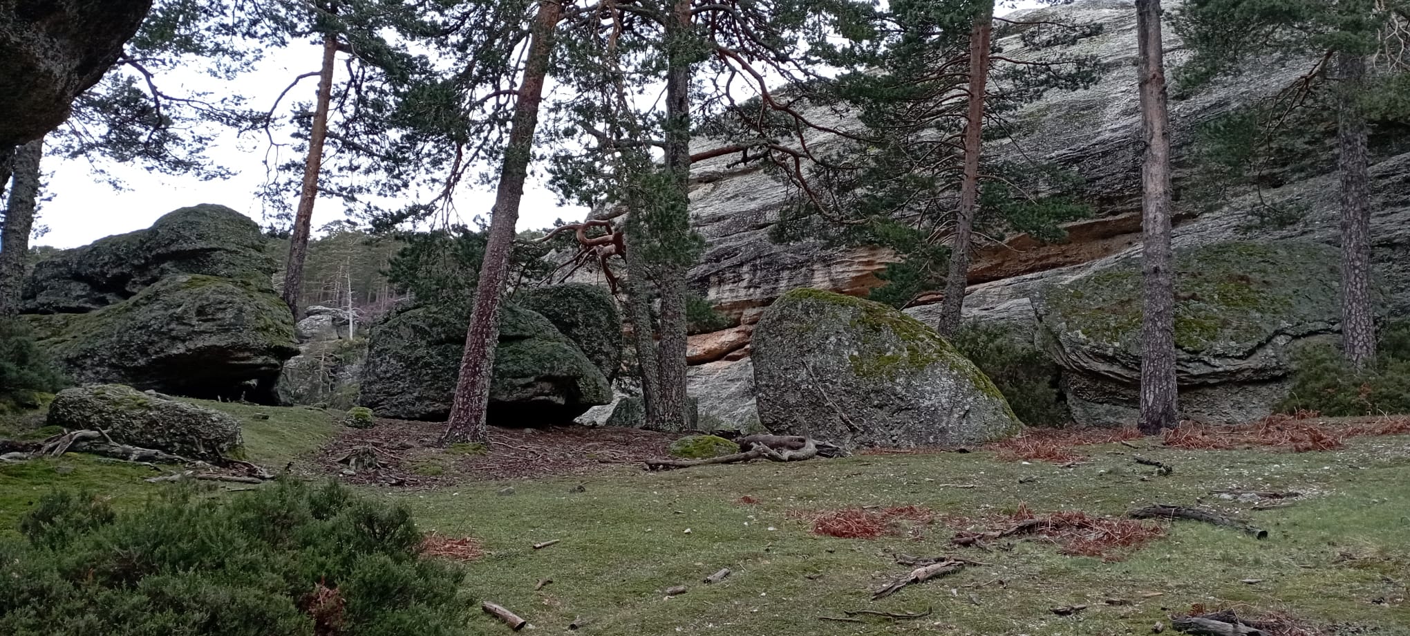
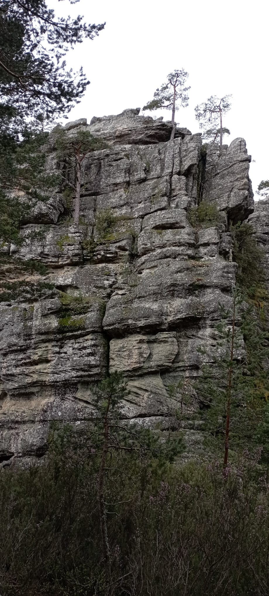
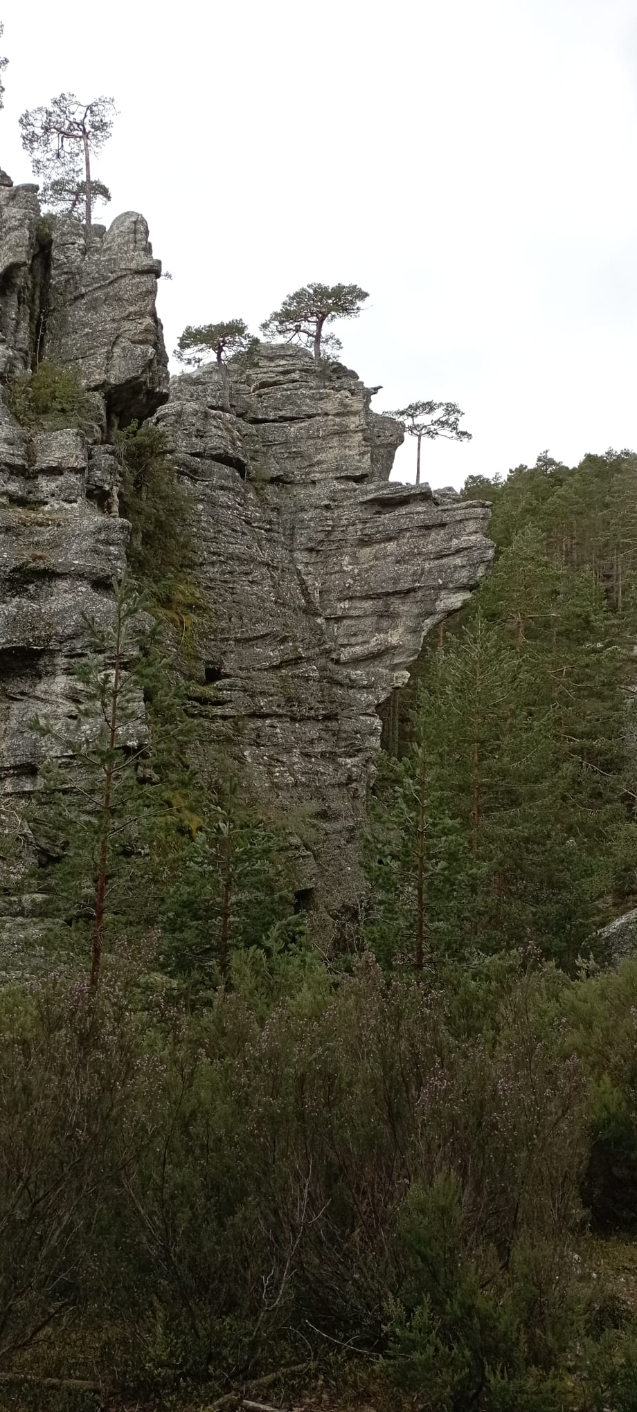
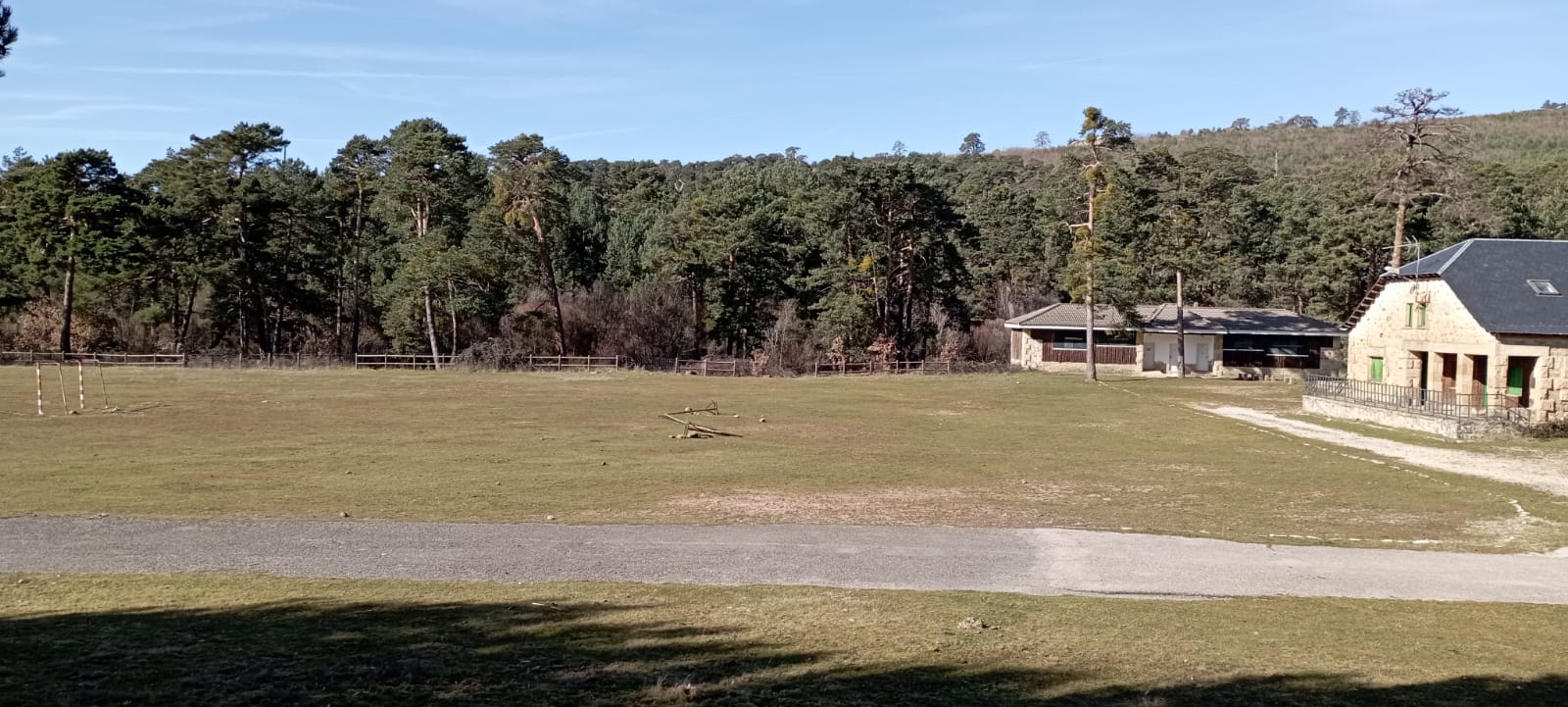
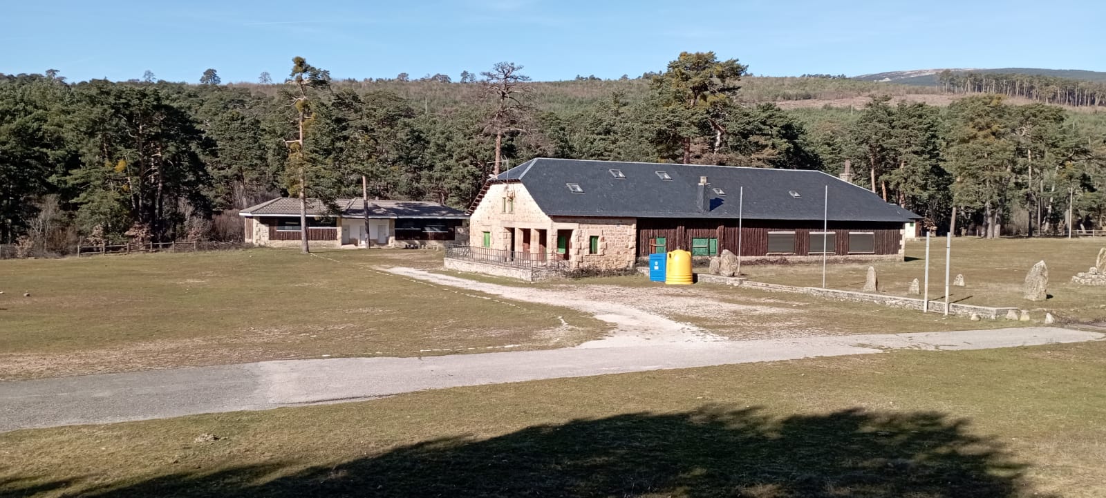
This mountainous environment offers a physically demanding terrain in which the elevation gain to be covered will be a determining factor or at least quite important. Navigational skills and strategic abilities are of vital importance in approaching and attacking the controls if rogainers are to successfully optimize their races. Forested areas cover 70% of the map, with pine (Pinus Sylvestris) being the main floral protagonist, generally quite passable. The open areas are mainly on the summits and are formed by meadows and some more or less stony areas, relatively passable, located mainly in the glacial cirques formed in both mountain ranges. The network of roads, forest tracks and trails is quite extensive, allowing good accessibility to the entire map of the competition.
Everything described above together with a multitude of hidden places of singular beauty, spread over many points of the terrain form an extremely unique scenario, with a multitude of possibilities to navigate, and at the same time, enhancing a wide range of strategies, making it a very attractive and irresistible area to compete in this sport discipline.


Embargoed Area
Climate and Hazards
The area has a predominantly continental mountain climate. The seasons are very marked; winters are usually cold with frosts and snowfalls; summers are warm and dry, mild and not very rainy; springs and autumns are quite rainy. Precipitation is distributed throughout the year, decreasing in summer.
The annual thermal oscillation is around 15º C. The daily oscillation in the extreme cases can exceed 20ºC.
In selected dates, the expected temperature will be comprised from 8º-13º to 18º-25º. Other climate conditions could be T-storms, but not so frequents, though due its 800m of altitude range the daily weather varies considerably from one area to another.
There are no relevant hazards, neither flora nor fauna risks. Only mention two viper species, vipera aspis and vipera latasei, which they are no mortals, only toxics, but the protocol indicates not to run and advise medical emergencies. Anyway, the probability of this risk is very low and unusual.
Lighting
The dates chosen for the celebration of the event are very close to the summer solstice, so the duration of the day is one of the longest of the year, thus favoring the hours spent with natural light.
| July 5th and 6th, 2025 | Time | Duration |
|---|---|---|
| Civil twilight | 06:08 – 06:42 | 34 min. |
| Sunrise | 06:42 | |
| Sunset | 21:50 | |
| Civil twilight | 21:50 – 22:24 | 34 min. |
| Day length (sun above the horizon) | 15 h 06 min. |